For residents
Maps & Resources
Current fire danger, burn restrictions, and the area we cover.
Fire danger
Today's conditions
Morton County's daily rating, and the whole state at a glance. Check it before any open burning.
Morton County restricts burning activities by the daily fire danger rating; see the state map for today's details.
This list is a summary. Some activities have extra rules not shown here; the county's signed declaration is the final word.
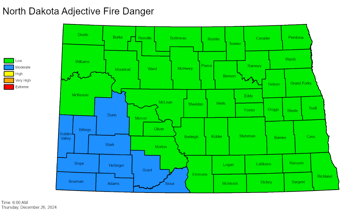 Today's map is temporarily unavailable. Open the statewide map for current ratings.The state's daily fire danger map, updated each morning.Open the statewide map ›
Coverage
Fire district map
The area the district covers across Morton County. Pan and zoom to explore.
Contacts
Who to call
Beyond this site
More resources
State and county sources we trust for conditions, rules, and preparedness.
Statewide
ND burn restrictions map
Today's fire danger and every county's declaration, from ND DES.
experience.arcgis.comNDResponse burn guidance
The state's burn rules, definitions, and safety guidance.
ndresponse.govNWS Bismarck
Forecasts, Red Flag Warnings, and fire weather for our area.
weather.gov/bisND One Call (811)
Locate buried lines before any digging. Free, and required.
ndonecall.comND Forest Service
Wildfire prevention programs and community assistance.
ndsu.edu/ndfsMorton County & preparedness
Morton County Emergency Management
County declarations, alerts, and preparedness.
mortonnd.govMorton County burn rules
The county's plain-language burning rules and fire safety page.
mortonnd.gov/fireND Roads
Live road conditions and closures statewide.
travel.dot.nd.govReady.gov wildfire guide
The federal checklist for preparing your home and family.
ready.gov/wildfiresRed Cross, Minnesota & Dakotas
Home fire safety and free smoke alarm installation.
redcross.org